 Lab 6 - Maps
Created Monday 17 November 2014 - Lab Home
I have complete MapClass101 course available online. If you like to learn basics of geography and maps, I suggest you to go there and learn. This lab looks at the readily available, web based tools that can be used to create, embed or export the maps.
- Simple points on the map
- Simple tracks on the map
- Choropleth maps
- Map based stories
- Time and Map based stories
Sample Exercise Questions
- Map the road under works, under TenderSure
- Map the POIs of sex crimes in Bangalore
- Map the Election results of BBMP
- Make a story of Baapu's Dandi March
Example Data Sets for Lab
- BBMP 2010 Election Results as CSV
- BBMP Ward Map as GeoJSON
- Bangalore Pincode Boundaries
- BMTC Bus Stops
Tools
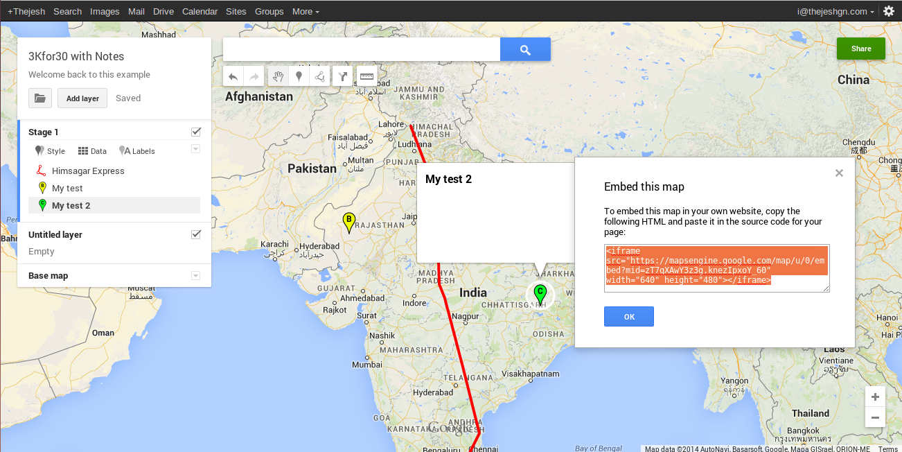
Google Map Engine
- https://mapsengine.google.com
- Create and share custom Google Maps
- Add Layers with POI, Paths, Areas etc
- Import Shape Files, KML, CSV etc
- Export Layers as KML
- Options for Google Maps based various base Maps
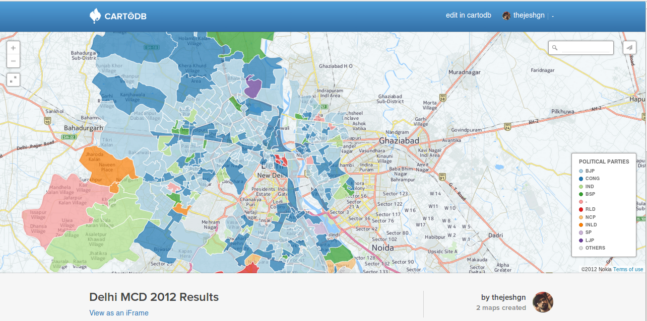
CartoDB
- https://cartodb.com/
- Import data from CSV, json, shapefiles
- Do data/geographic analysis
- Create visualizations easily
- Embed it on your website
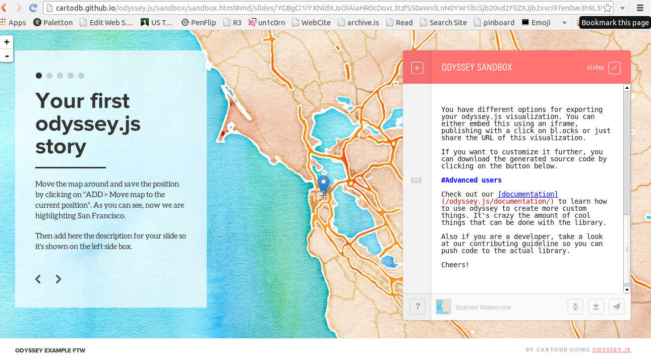
Odyssey
- http://cartodb.github.io/odyssey.js/index.html
- A simple way for journalists, designers,and creators to weave interactive stories
- POI based story-lines
- Slides, Scrolls and Time based flows
- Customizable Theme
- Host the html on your own server or embed
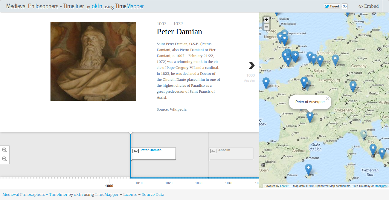
TimeMapper
- http://timemapper.okfnlabs.org/
- Elegant timelines with POIs on maps
- Edit the template Google Spreadsheet with time, media and location
- Embed it on your website
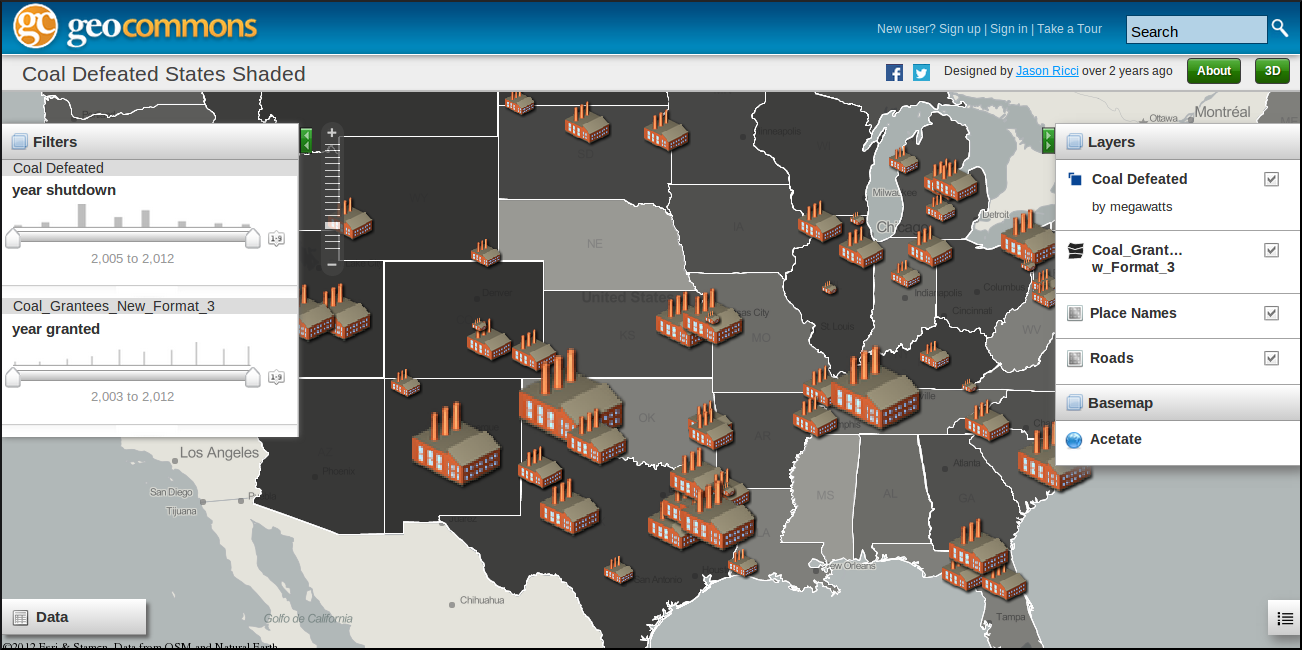
geocommons
- http://geocommons.com/
- Visualizations
- GeoIQ for Analytics
- Embed, Export
Other Tools
- GeoJSON.IO - Create and Edit GeoJSONs easily and export it to various other formats like KML, TopoJSON, Shape Files etc
- OGRE - Covert between various geographic file formats like KML, TopoJSON, Shape Files etc to GeoJSON
- GeoJSONLint - Validate and View your GeoJSON files