Tagged: OpenStreetMap

0

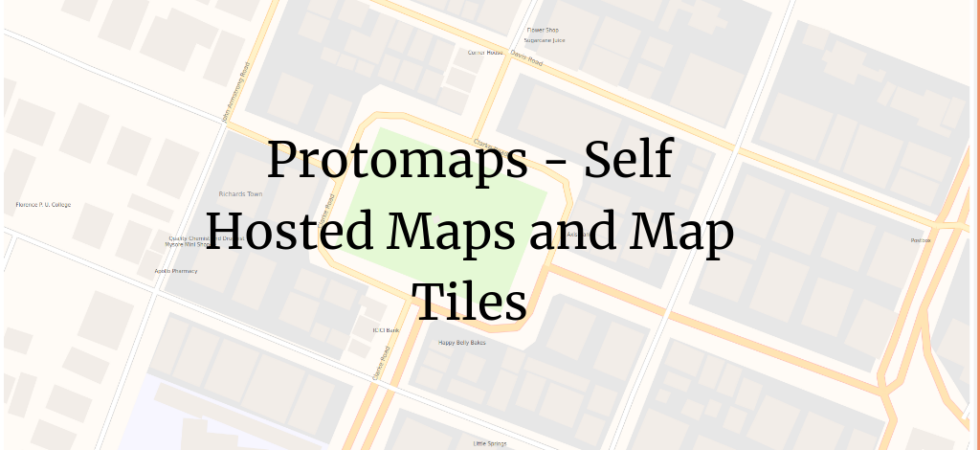
Protomaps – Self Hosted Maps and Map Tiles

It’s tough to self-host the maps for Indie users. We usually host the wrapper and styles but end up using third-party tile providers. Even though there are good FOSS options for that, it’s still cumbersome if you are Indie. But Protomaps makes it easy.

Sync between LGD and WikiData 2

Mapping Local Government Directory to WikiData

The Indian government maintains the directory and hierarchy of local governments and administrative areas in India called the Local Government Directory (LGD). Recently I wanted to map them to WikiData items. This means I wanted to map the administrative areas in the local government to items on WikiData. Update them if necessary.

Map of currently mapped cameras of Bangalore 1

Linked List: Simple Ways to Contribute to OpenStreetMap

Recently I completed 1000 edits on OpenStreetMap. It’s a big deal for me :) It happened because I started making small but useful contributions from my phone. I usually map on the phone and then sometimes update them on the desktop, if required. On the phone, I use the following apps, which makes it super easy to edit.

Public CCTV Camera at Cubbon Park, By Yashodhara Udupa 0

Surveillance in Bengaluru – Updates

I have been mapping Surveillance in Bengaluru for couple of months now. We have made some good progress. I thought it’s good time to share those updates and ask for help. Mapping We have mapped 340 Public and Outdoors CCTV cameras. I think we have made good progress. But to cover the entire...

10

Mapping Surveillance in Bangalore using OpenStreetMap

Table of Contents1 How to add1.1 Using OSMAnd1.2 Using Every Door2 How to get this data3 Surveillance under Surveillance4 What next? For last couple of months I have been driving quite a bit inside the city1. The biggest thing I noticed was the amount of public CCTV cameras across the city. I find...

Missing Kannada Country names on OSM 8

Organised way to Translate Administrative Names on OpenStreetMap

This morning I was trying to print some maps in Kannada using Marble. Then to my surprise1 I found Philippines in English, which means there is no Kannada translation available. Then ran a simple query on Overpass to see the missing Kannada country names. The query prints the details in CSV format (separated...