Tagged: OpenStreetMap

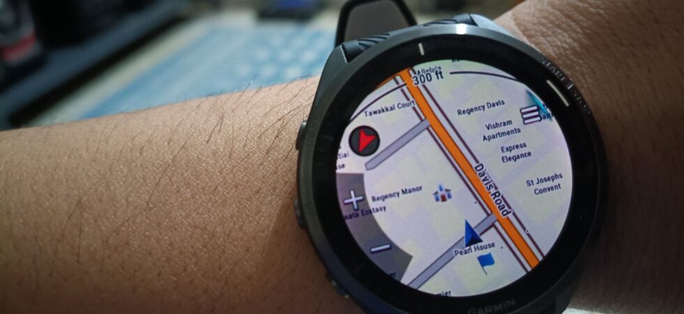
Offline Maps on Garmin Forerunner 965. 0

Loading Indian Maps on a Garmin Forerunner 965

The primary reason I bought this watch was the ability to display and navigate using proper offline maps. Garmin doesn’t have maps for India. But the OpenStreetMaps community has maps that can be loaded into Garmin. There are many community-built web services, such as Thukke’s OSM Downloads and Userbeam, that provide Indian maps...
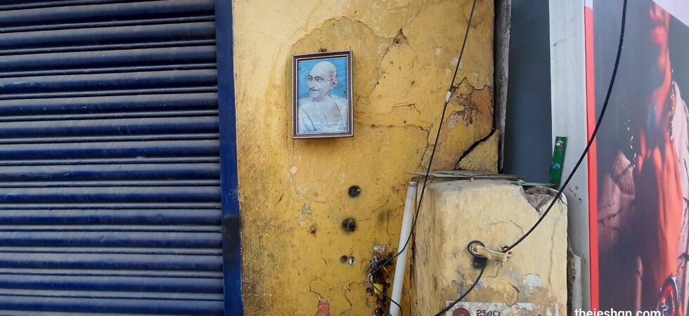
MK Gandhi on the wall, take during OSM Mapping Walk. 2

Weekly Notes 48/2024

This week has been better than last week. I made good progress on the work front. I will be in Mumbai next week for work. Do ping me if you are around. We can probably get some coffee.

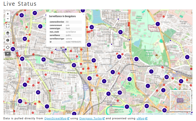
Screenshot of the uMap embedding on Surveillance in Bengaluru project. Showing the CCTV data pulled using the Remote URL feature and Overpass Turbo. 2

Creating Maps using uMap

uMap is an open-source project that allows you to overlay your map data on top of the OpenStreetMaps and create custom maps. I have used it to create interactive maps; one example can be found embedded on the Surveillance in Bengaluru project page. It has features for both starters and advanced users. You...

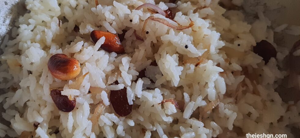
Cooking after a long time - Ghee Rice for Uma 0

Weekly Notes 32/2024

I was supposed to meet friends for lunch during the weekend, but I got the day wrong. So they were all at the restaurant waiting for me, and I was home. They sent me WhatsApp messages promptly, and I ignored them as I checked messages only once every 3 or 4 hours. My...

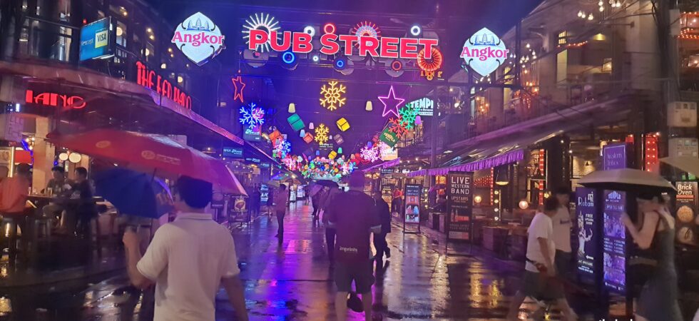
Pub street in the night - Siem Reap 2

AWA 7: Back in Bangalore

We had no particular plans for the last day. It was reserved for shopping, rest and, packing, etc. Appa and I walked quite a bit of downtown Siem Reap the previous night. It was lit up, and all the pubs were open for patrons. Siem Reap is yet to get as many tourists...

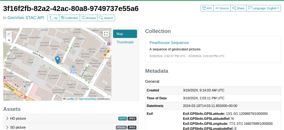
Panoramax Single Item in the collection. You can see all the details. 1

Exploring STAC Datasets with Browser

I recently contributed some imagery to the panoramax project. It’s like Street View but is open and free. Then I saw that the panoramax exposes STAC APIs. I wanted to know more about STAC, which led me down a rabbit hole.