Tagged: maps4change

Official External boundaries of India Provided by Survey of India. 0

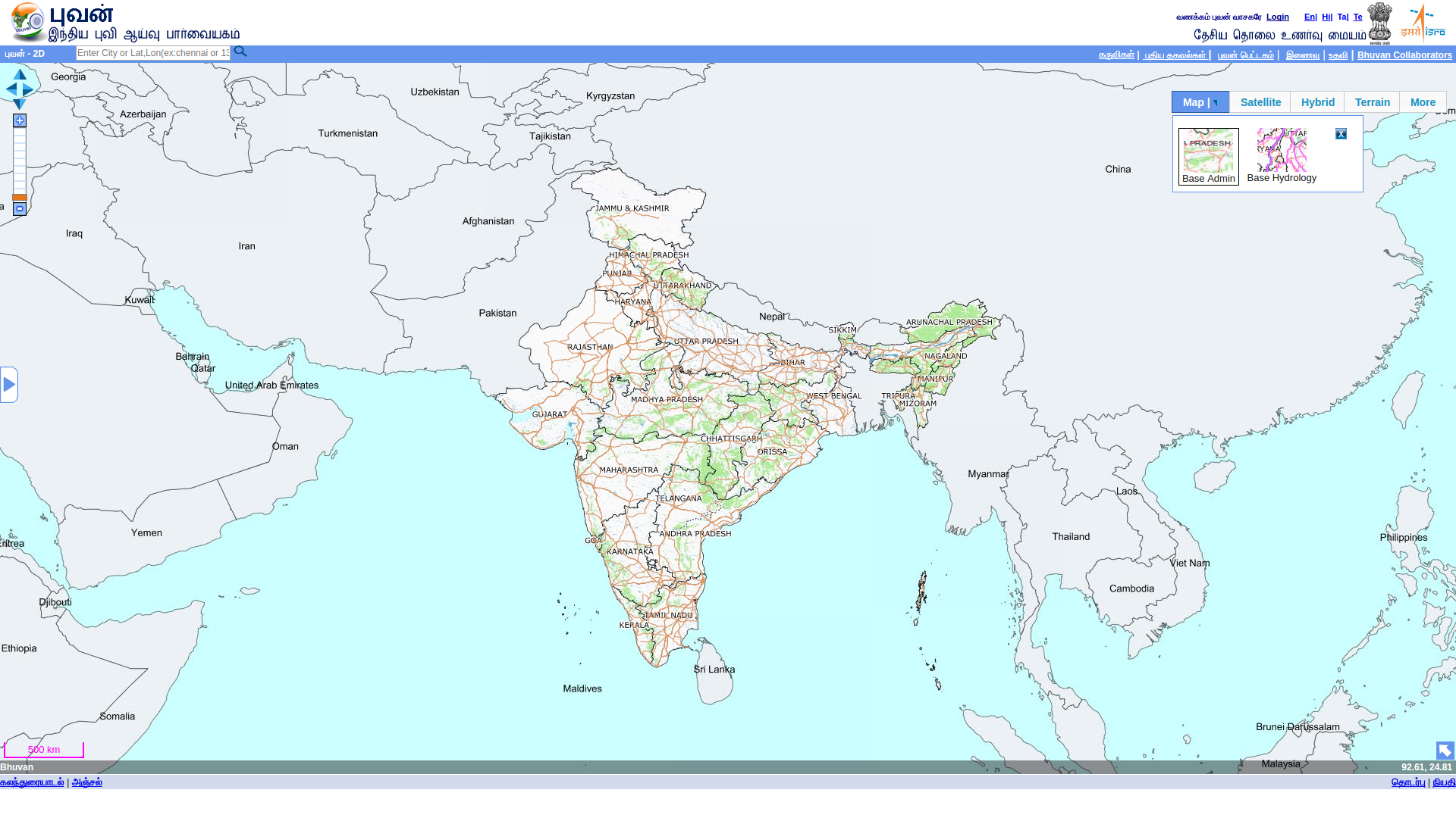
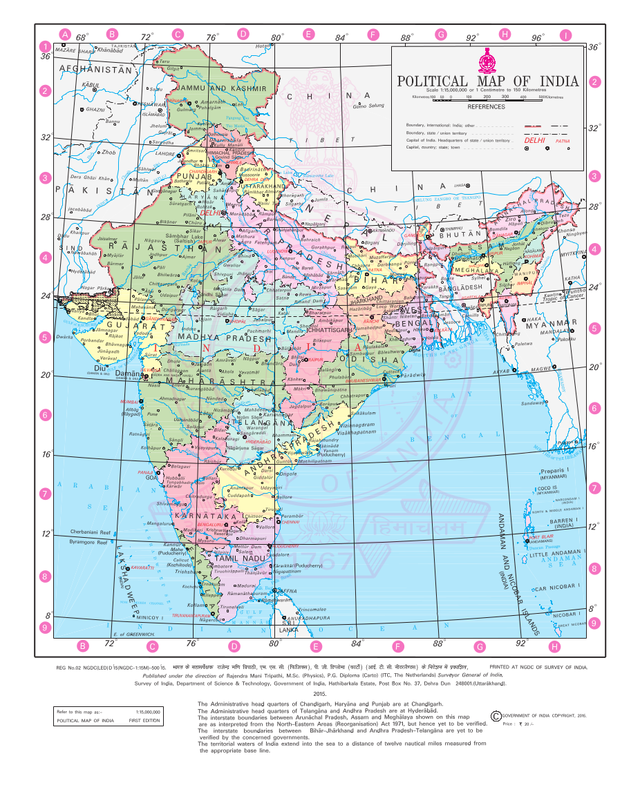
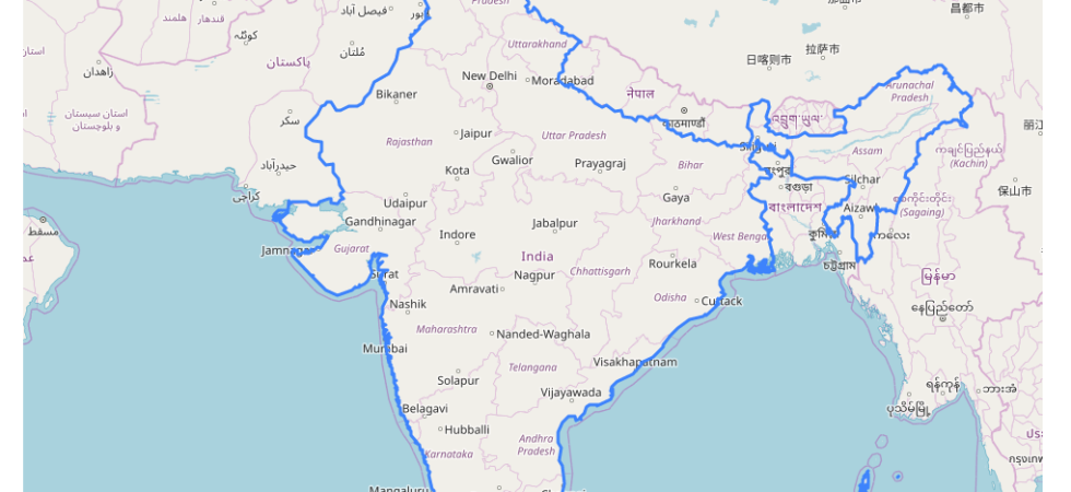
Download Official External boundaries of India by Survey of India

For a long time the Indian OpenStreetMap community and DataMeet Community was looking for an official external boundaries. Even-though the commercial counter parts had it, the community didn’t have access to it. That status has changed now. Now we have the official external boundaries of India by Survey of India out in public...

Wikimedia Kannada Maps inside Marble Application 0

Wikimedia Kannada Maps in KDE Marble Desktop Application

For a while I have been using KDE Marble as my desktop map client. The project describes itself as “a virtual globe and world atlas — your swiss army knife for maps”. It can do a lot but I use it for my day today work like bookmarking areas, creating KML files etc....

1

Community Created Free and Open Maps of India

Table of Contents1 OpenStreetMap2 PC & AC Maps3 State and District Boundaries4 Municipal Spatial Data5 Indian Village Boundaries (Maps)6 Footnotes Since the beginning of Data{Meet} maps have been hottest discussion subjects. Data{Meet} community has contributed to various maps over the years. But Data{Meet} is a small part of much bigger mapping community in...

Bhuvan map in Tamil interface. 2

Where are the Indian language Maps?

It’s my hobby to ask Uber drivers which apps they use on a daily basis and what issues they generally face. It’s my opening into the way the world uses technology, which otherwise works perfectly fine for me and for People Like Us. For most drivers, besides network and connectivity issues, the main...

2

Kannada Web Maps using Tangram by Mapzen

We have all seen beautiful Kannada maps by Yogesh using Mapbox APIs. Another startup which works in the same area is Mapzen. Tangram is a flexible mapping engine by Mapzen. Tangram is designed for real-time rendering of 2D and 3D maps from vector tiles inside your browser or app. Most importantly Tangram allows...

Political Map of India 5

They want to take away maps they never gave us

For anyone familiar with DataMeet, a community of data enthusiasts1, you would be aware that the discussion can be rather stilted. Even though the list is dedicated to all types of data, geospatial data seems to be the main topic. There are over 700 topics related to geospatial data, out of 1600. That...