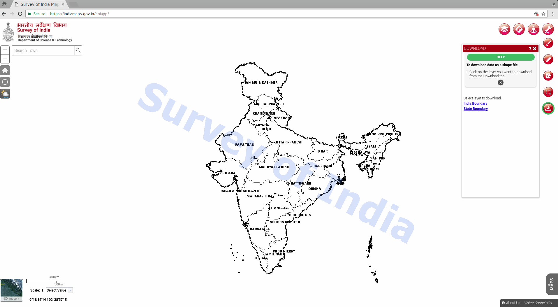
Download Official External boundaries of India by Survey of India
For a long time the Indian OpenStreetMap community and DataMeet Community was looking for an official external boundaries. Even-though the commercial counter parts had it, the community didn’t have access to it. That status has changed now. Now we have the official external boundaries of India by Survey of India out in public for anyone to use. It’s a great news. It was hidden inside their website until a community member found it. So now go ahead and use them in your maps.
They are available on DataMeet Github for download. If you prefer to download from SOI site then go here. They are available in the shapefile format. We have converted the same toGeoJSON format and have simplified it. So it can be used easily on web. You can see the same embedded above. It looks great.
.

But as a community we are still not sure about the exact license of these maps. It would be great to have them under Government of India’s Government Open Data License – India. That would help commercial entities, startups, newspapers etc use it. Community is in the process of writing a request letter to SoI. You can see the related discussion here. Let me know if you or your institution wants to be part of it.
Happy mapping.