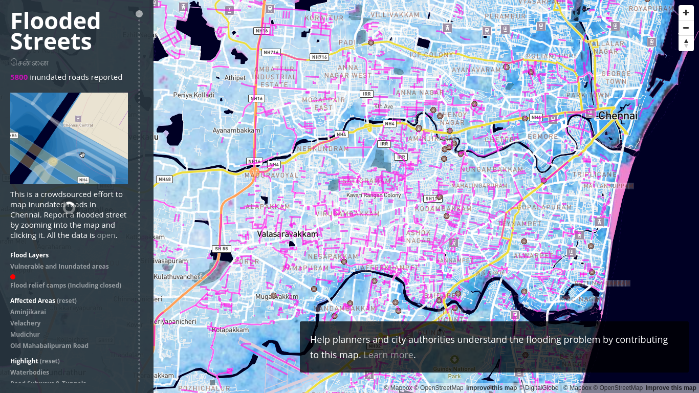
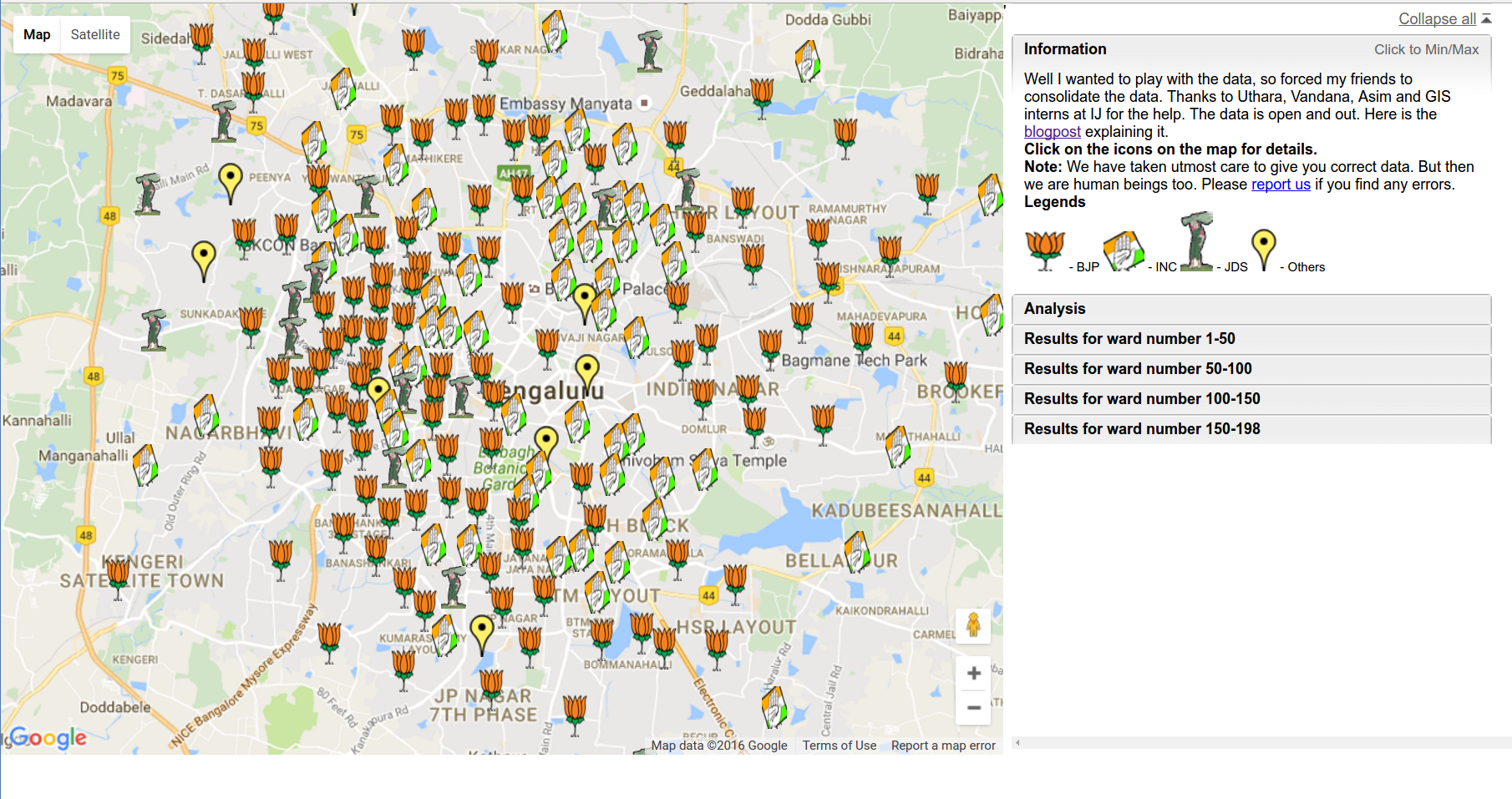
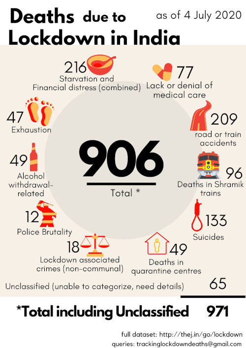
Everything India’s Geospatial Regulation Bill will kill if it is passed
On April 26, India launched its own satellite-based navigation system called the IRNSS, short for Indian Regional Navigation Satellite System. The objective: to provide accurate — better than 20 metres — location information to users in India as well as the region extending 1,500 km from its boundaries. When the IRNSS-1G — the...


