Monitoring Internet connection at Home using Healthchecks.io, Termux and CouchDB
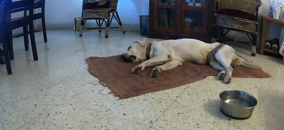
For last few days we have been running a dog cam to watch Max. whenever we are away. Max is getting older, faster than I think. So even though he is very comfortable staying alone at home 1, we like to keep an eye on him for our sanity. The camera is nothing...