Of Denial and Data
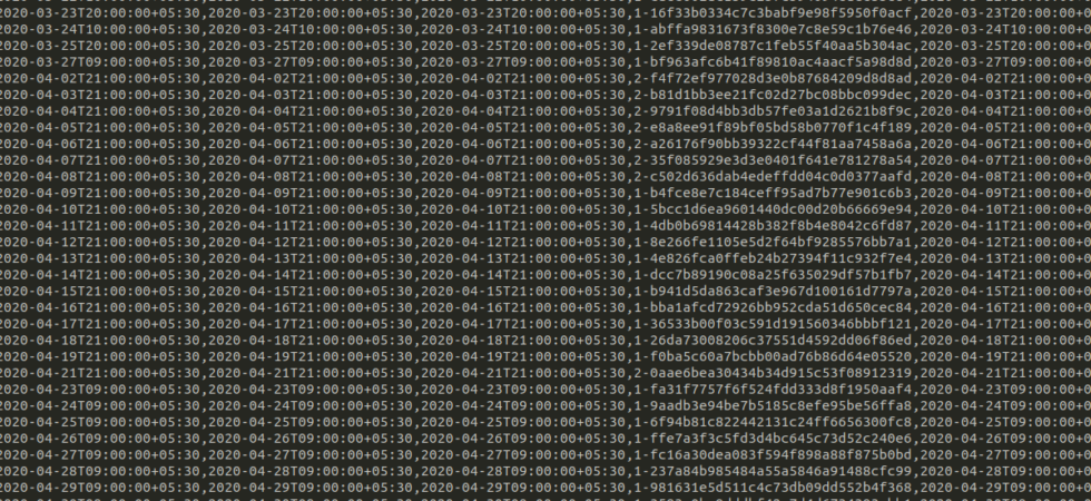
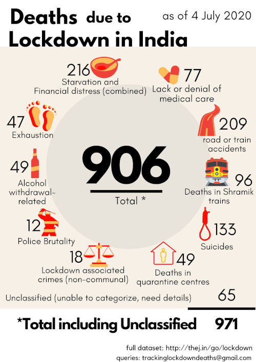
As you would know, Aman , Kanika Sharma , Krushna and I, maintained a public database of reported deaths resulting from the lock-down. Our take on it is published on PEW now.
A container for all my views with excerpts from technology, travel, films, books, kannada, friends and other interests. I am Thejesh GN, friends call me Thej.
As you would know, Aman , Kanika Sharma , Krushna and I, maintained a public database of reported deaths resulting from the lock-down. Our take on it is published on PEW now.
UDISE+ has the most detailed datasets about all aspects of the elementary education system in India. It collects data from 15 Lakh+ schools from across India. It also has aggregated data at Educational Blocks and Educational districts. This post is about these educational blocks and districts. Unified District Information System for Education (UDISE)...
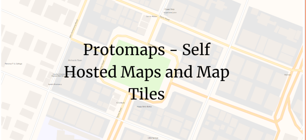
It’s tough to self-host the maps for Indie users. We usually host the wrapper and styles but end up using third-party tile providers. Even though there are good FOSS options for that, it’s still cumbersome if you are Indie. But Protomaps makes it easy.
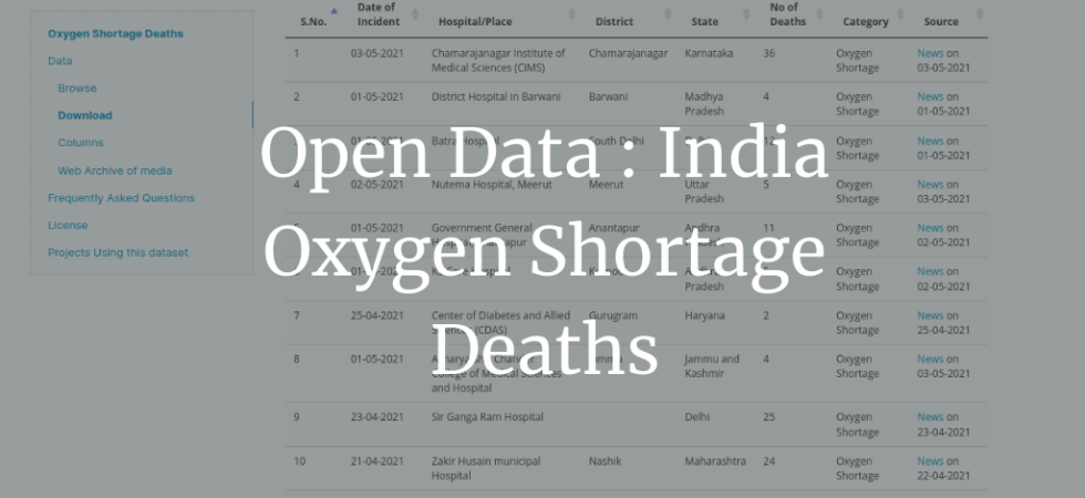
We (Volunteers from DataMeet and Road Scholarz) are recording deaths due to the lack of Oxygen, shortage of Oxygen, or denial of Oxygen in hospitals during the second wave of the Covid-19 pandemic in India. The deaths recorded are based on reports from newspapers and news media in English and regional languages, social media, and networks of volunteers working on the ground. We have been tracking these sources, verifying details, checking for duplication, and extracting the necessary information from these reports.
If you work with Data, you can’t escape working with CSVs. It’s a universally accepted data format for sharing the data. I use the following tools to wrangle with it.
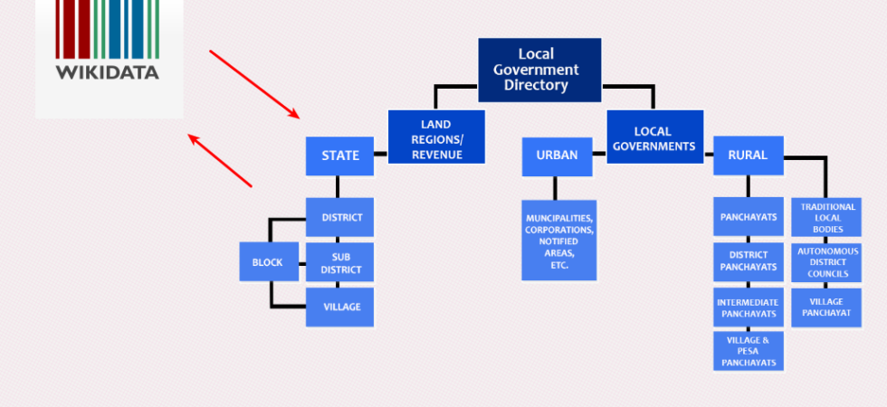
The Indian government maintains the directory and hierarchy of local governments and administrative areas in India called the Local Government Directory (LGD). Recently I wanted to map them to WikiData items. This means I wanted to map the administrative areas in the local government to items on WikiData. Update them if necessary.
There are many ways to subscribe to this blog. Email is probably the best.

Thejesh GN (ತೇಜೇಶ್ ಜಿ.ಎನ್) "Thej" is an Independent Technologist, Hacker, Maker, Traveler, Blogger, InfoActivist, Open data and Open internet enthusiast from Bangalore, India. He loves experimenting with all things life and hence some times he is called hacker and other times duct tape. You can read more about him here. Email [ i @ thejeshgn dot com]. PGP/GPG Keys are here.


(C) Thejesh GN.The views expressed on this site are mine (Thejesh GN) alone and do not necessarily reflect the views of my employer. Please read the terms and conditions before reading or commenting on this blog.